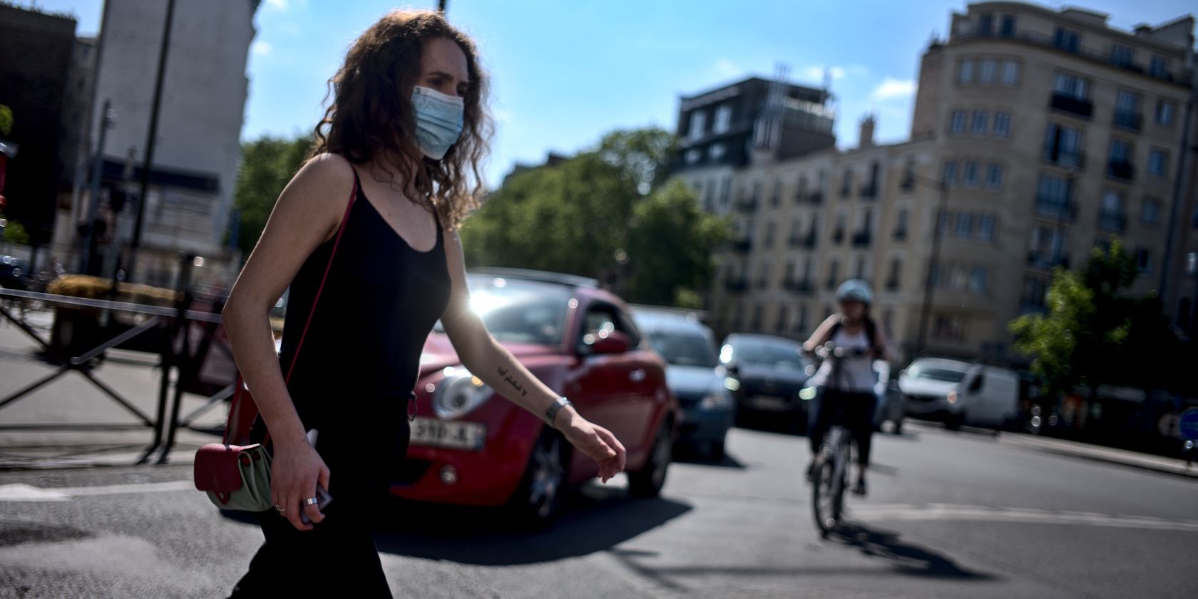
Google is making it a little easier to stay safe during the COVID-19 pandemic. To do this, the company is adding a new set of features to Google Maps designed to help us all make better choices when travelling. Which may help prevent a second spike.
Countries Are Emerging From Lockdown
With countries emerging from lockdown and citizens starting to get out and about more, the risk of a second wave of infections increases. However, by avoiding crowded places, and adhering to social distancing rules at all times, that risk falls away sharply.
To help us all stay safe, Google has added new features to Google Maps. As detailed on The Keyword, these are alerts about important information plus levels of crowdedness expected on public transit. Which should make people more confident to venture outside.
New Coronavirus-Related Google Maps Features
The first coronavirus-related feature is alerts about important information which may impact your journey. These include alerts from local transit agencies insisting you wear a mask and alerts for drivers likely to encounter COVID-19 checkpoints on their route.
Transit alerts are launching in Argentina, Australia, Belgium, Brazil, Colombia, France, India, Mexico, Netherlands, Spain, Thailand, United Kingdom and the U.S. The other alerts are not yet being offered in as many countries, but more will be added over time.
COVID-19 has made getting around more complicated. We're helping you get from A to B with new features that alert you to important information and allow you to safely avoid crowds on public transit ? https://t.co/UbvQy9ihcC pic.twitter.com/1LozSND3WL
— Google Maps (@googlemaps) June 8, 2020
The second coronavirus-related feature allows you to check the levels of crowdedness on public transit vehicles and in stations. You can now see how crowded a particular bus or train journey is likely to be based either on historical data or live updates.
Simply search for a station on Google Maps and you should see its busiest times and how busy it is right now. Or find a public transit service operating between A and B on Google Maps and click “Crowdedness”. You can also provide the live data if you’re travelling.
Check Websites for Information About COVID-19
With the world gradually emerging from lockdown, the onus is on us all to keep the infection rate down. By avoiding crowds, adhering to social distancing rules, and wearing masks in confined spaces, we can ensure the worst of COVID-19 is behind us.
However, all the while this coronavirus is still with us, it’s worth staying informed on the virus and its devastating effects. So, be sure to book our list of websites you can trust for COVID-19 information. Because a little knowledge goes a long way.
Image Credit: Alexandre Dulaunoy/Flickr
Read the full article: Google Maps Makes It Easier to Stay Safe From COVID-19
from MakeUseOf https://ift.tt/30mBnVd
via IFTTT

0 comments: